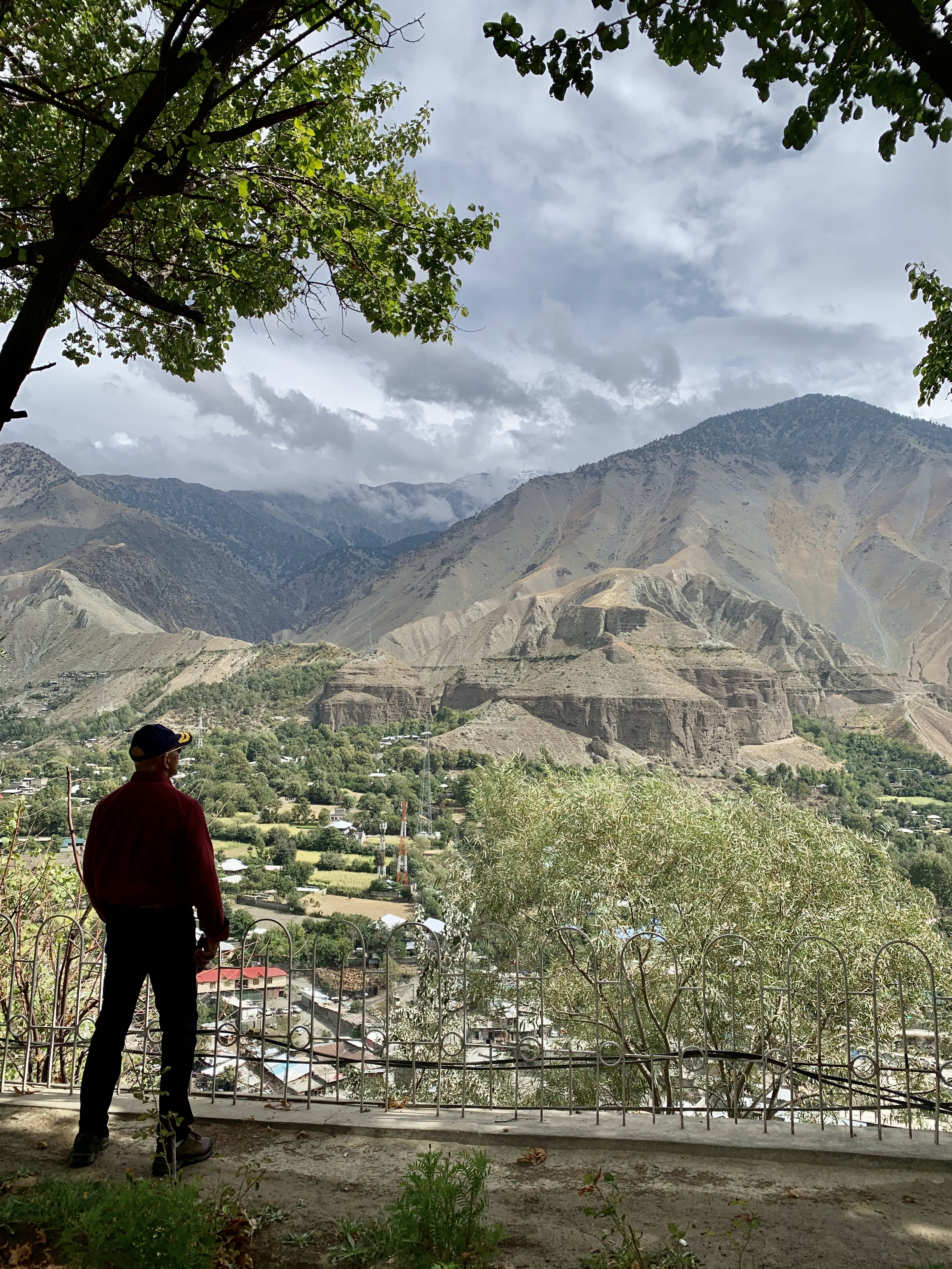
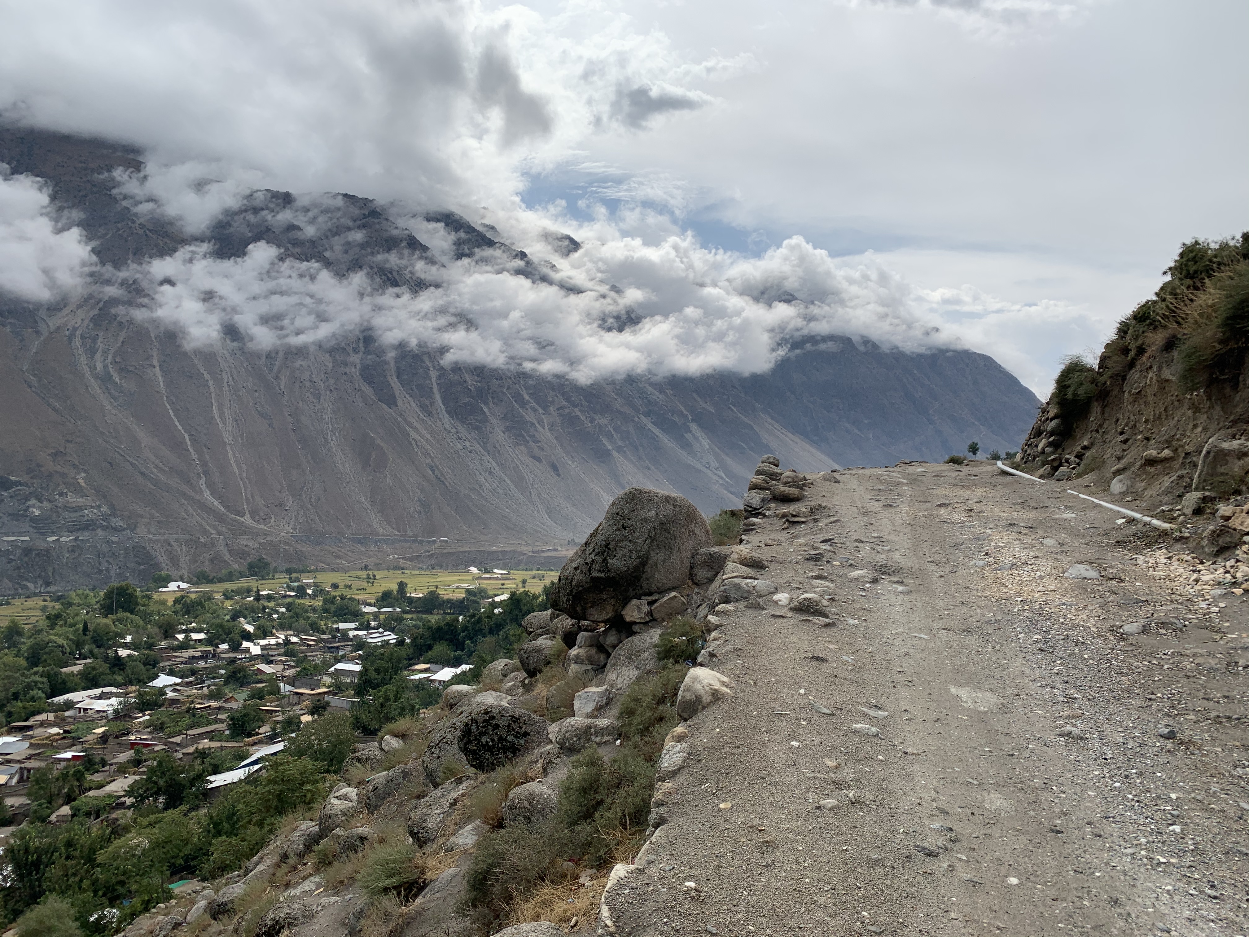
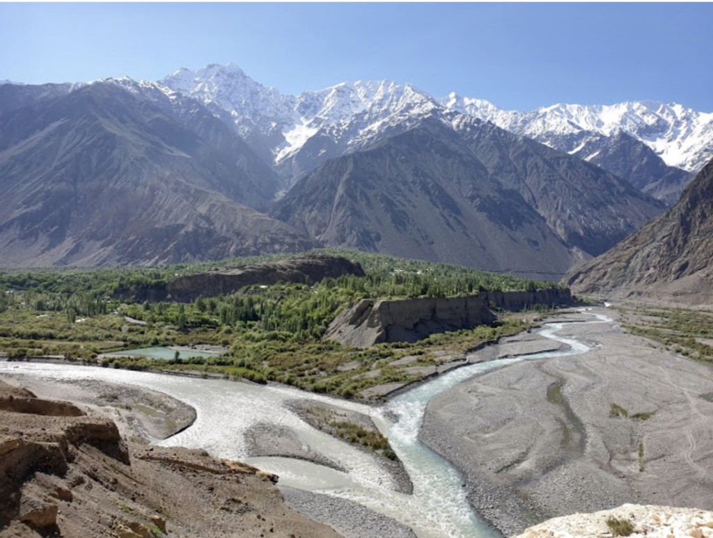
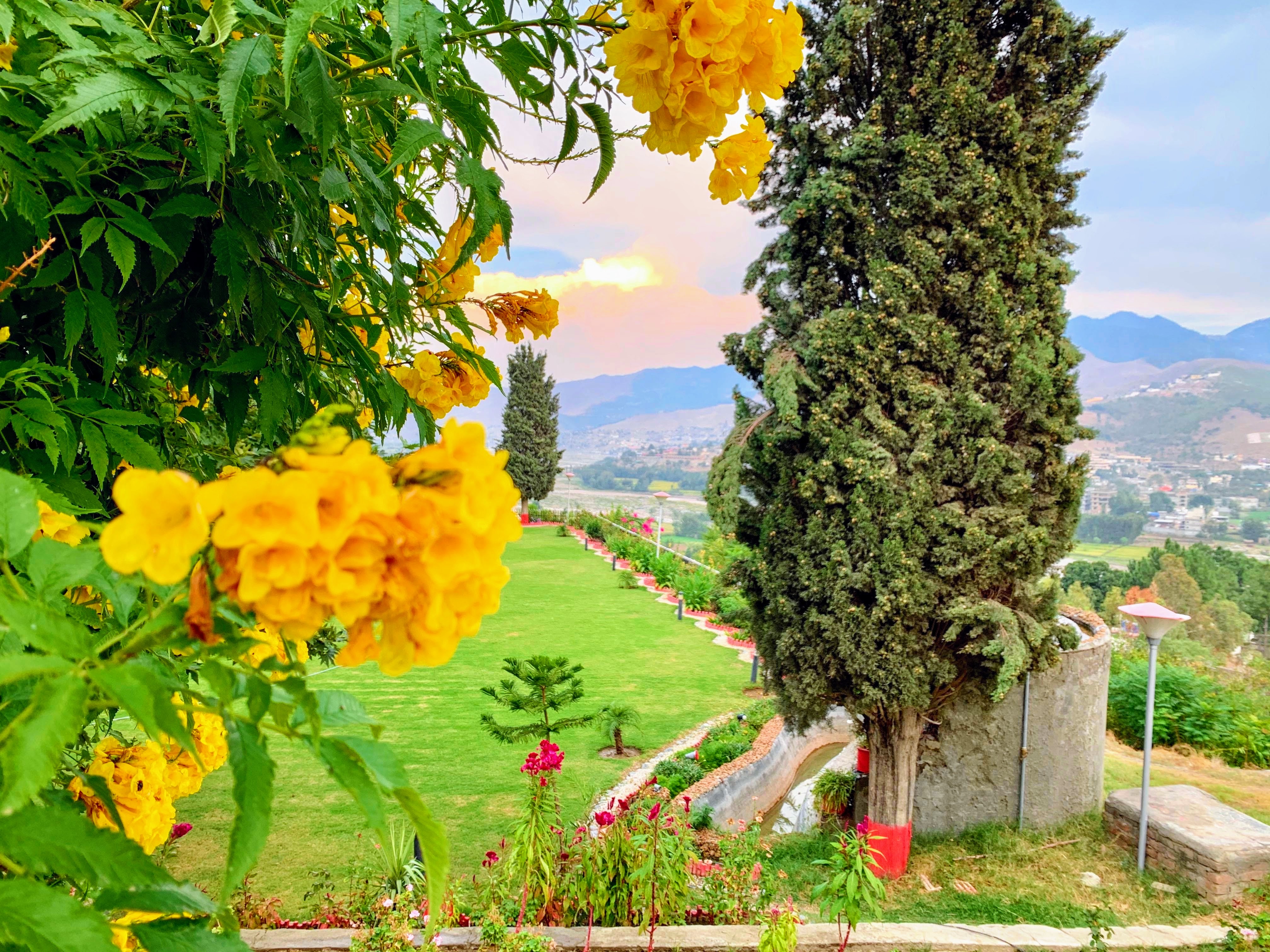
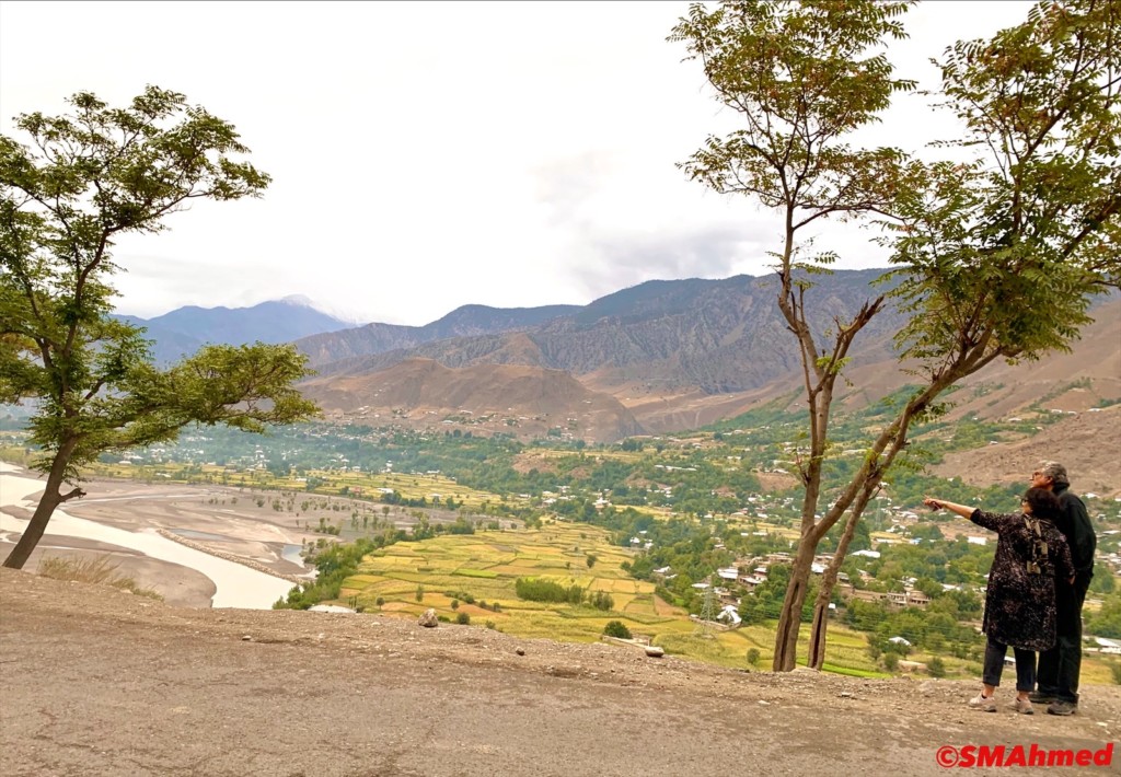
Chitral is counted amongst the highest regions of the world, sweeping from 1,094 meters at Arandu to 7,726 meters at Tirichmir, and packing over 40 peaks more than 6,100 meters in height. The terrain of Chitral is very mountainous and Tirich Mir (25,289 feet) the highest peak of the Hindu Kush, rises in the north of the district. Around 4.8 per cent of the land is covered by forest and 76 per cent is mountains and glaciers.
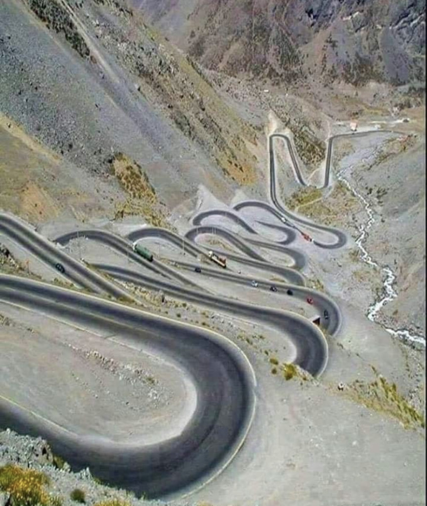
Chitral is connected to the rest of Pakistan by two major road routes, the Lowari Pass (el. 10,230 ft.) from Dir and Shandur Top (elevation 12,200 ft.) from Gilgit. Both routes used to be closed in winter, but circa 2017 the highway Lowari Tunnel under the Lowari Pass opened to vehicular traffic for at least ten hours per day. A number of other high passes, including Darkot Pass, Thoi Pass and Zagaran Pass, provide access on foot to Chitral from Gilgit-Baltistan.
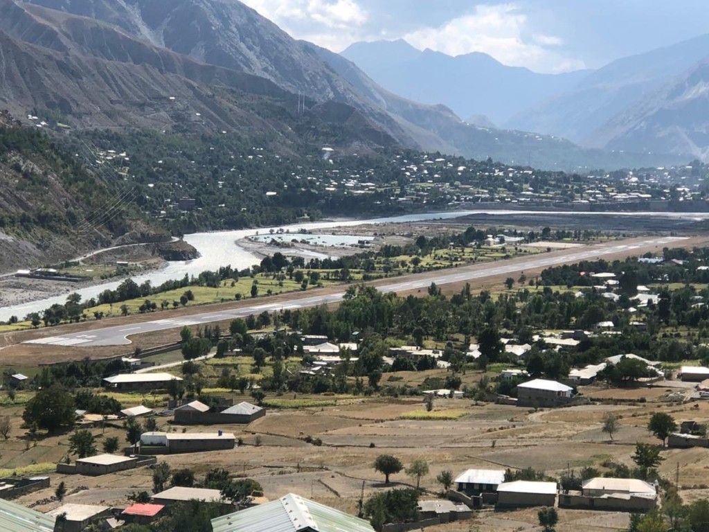
A direct flight from Islamabad offers breathtaking views and only takes 45 minutes but it is subject to clear weather. A road journey from Islamabad is nine and a half hours but this scenic drive is certainly worth the time.
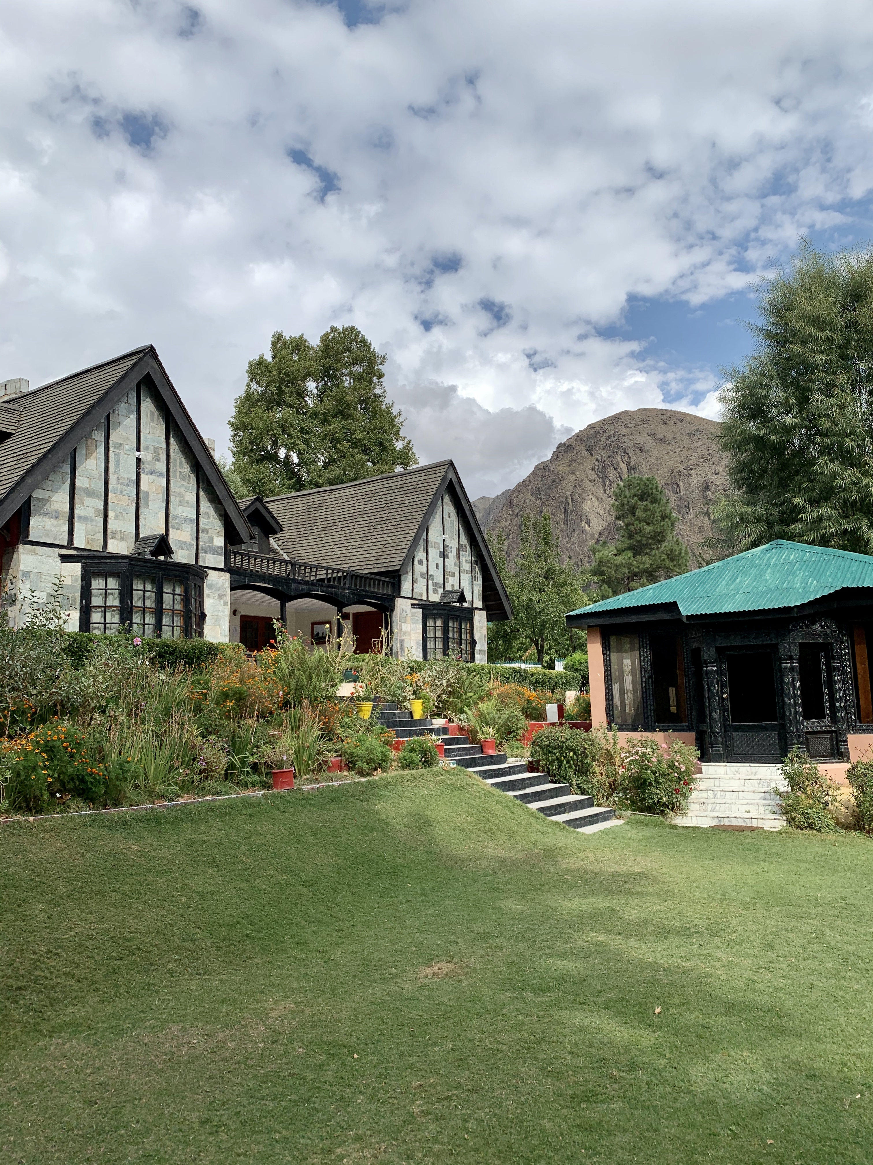
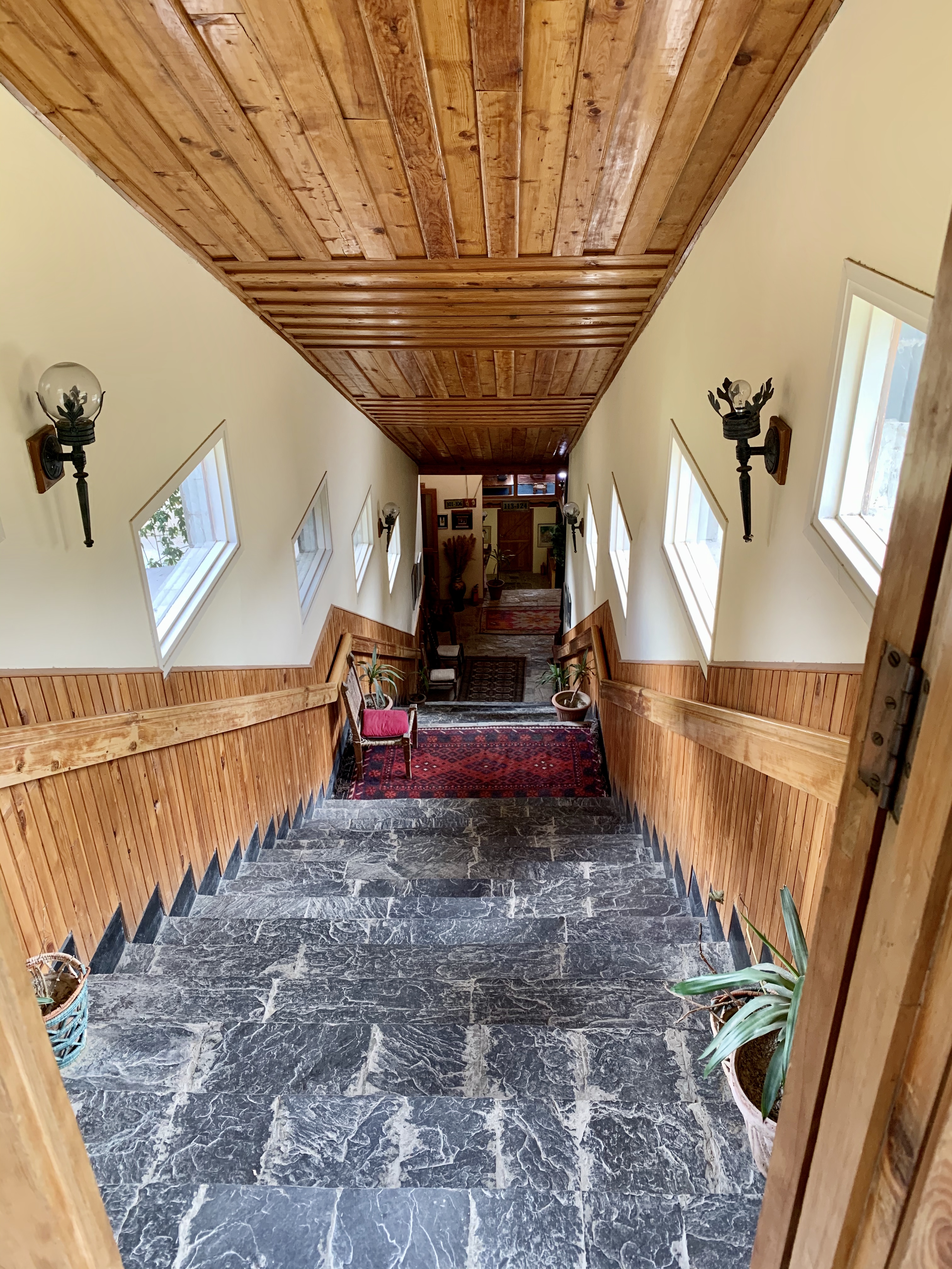
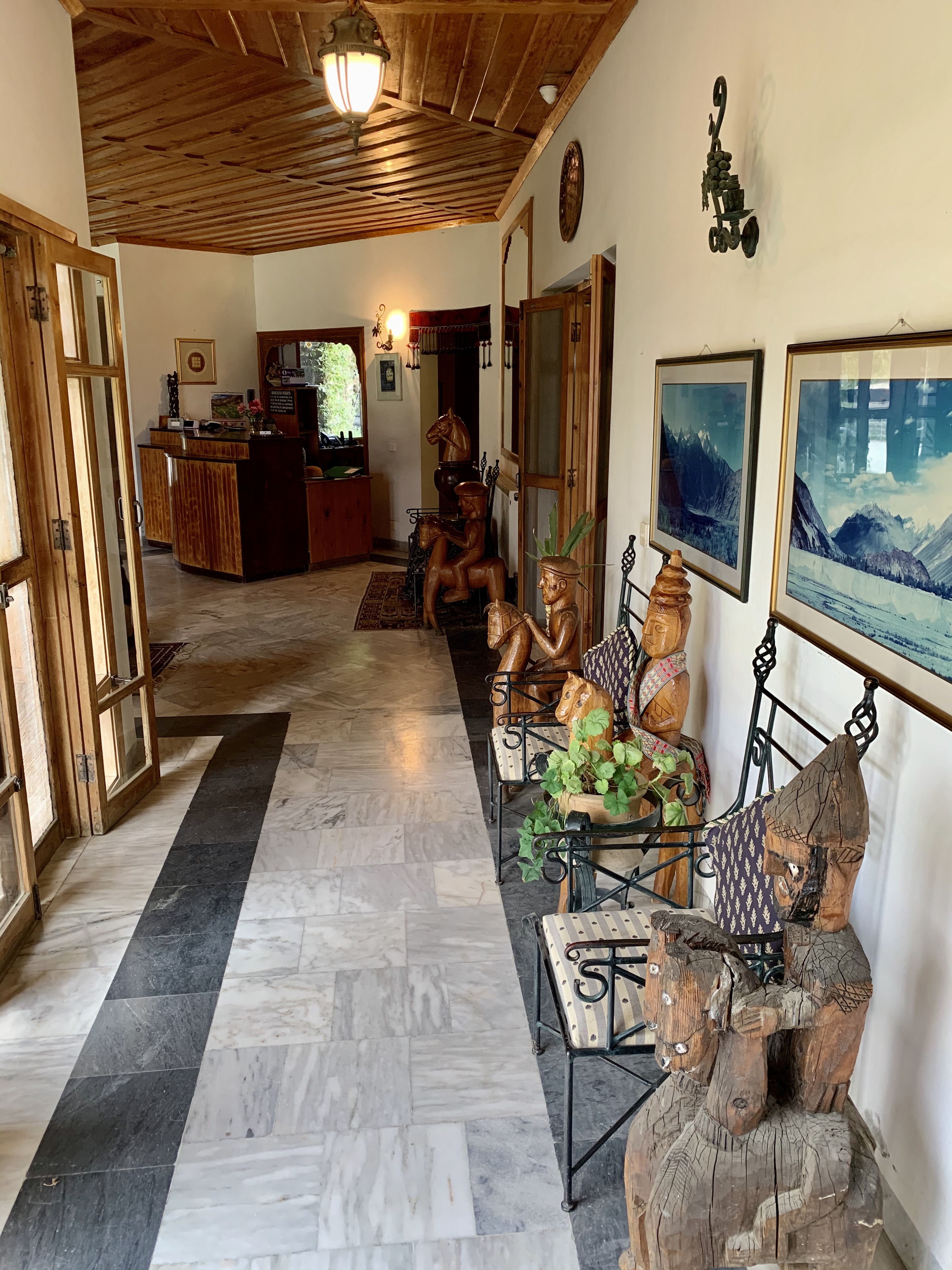
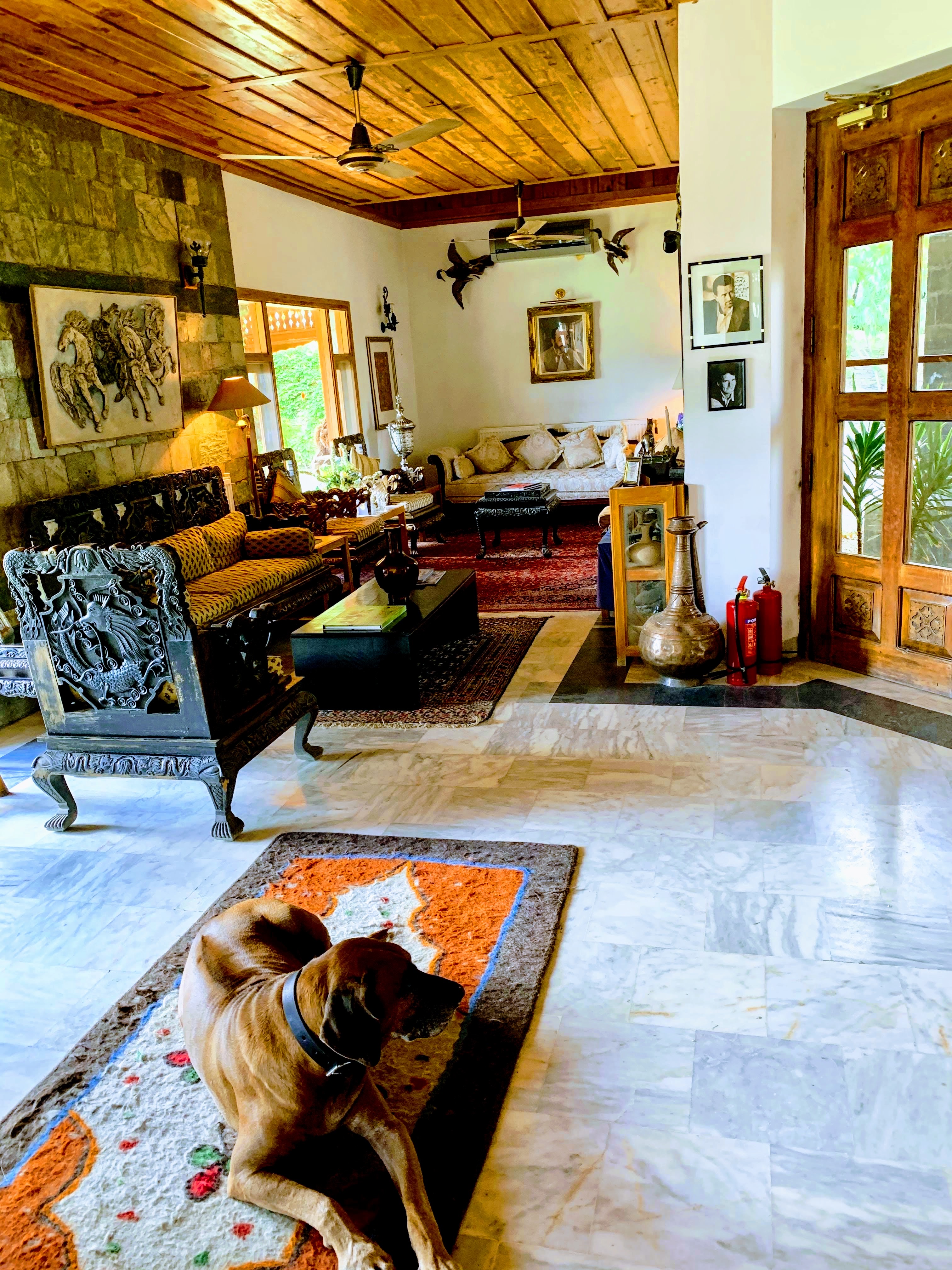
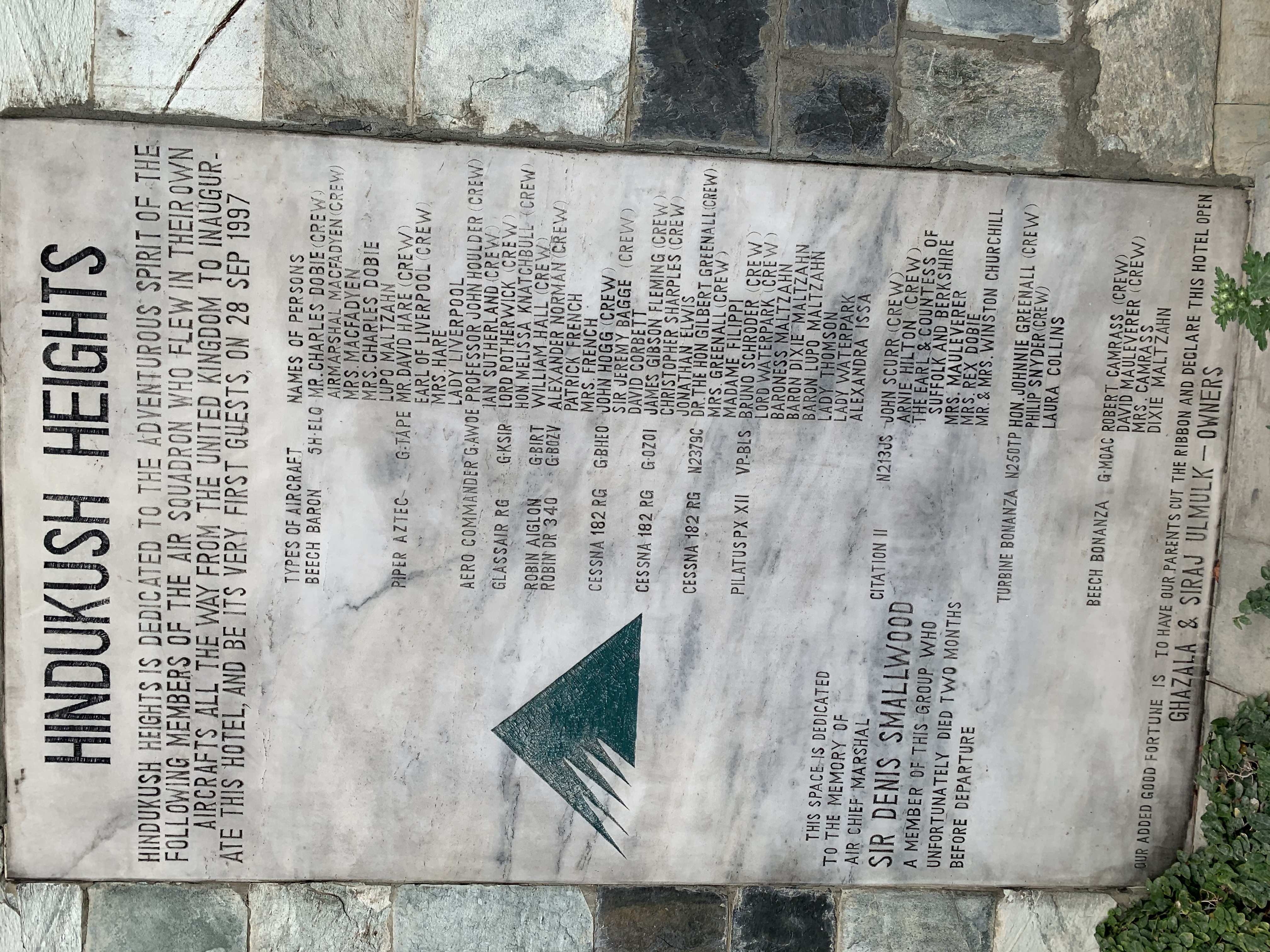
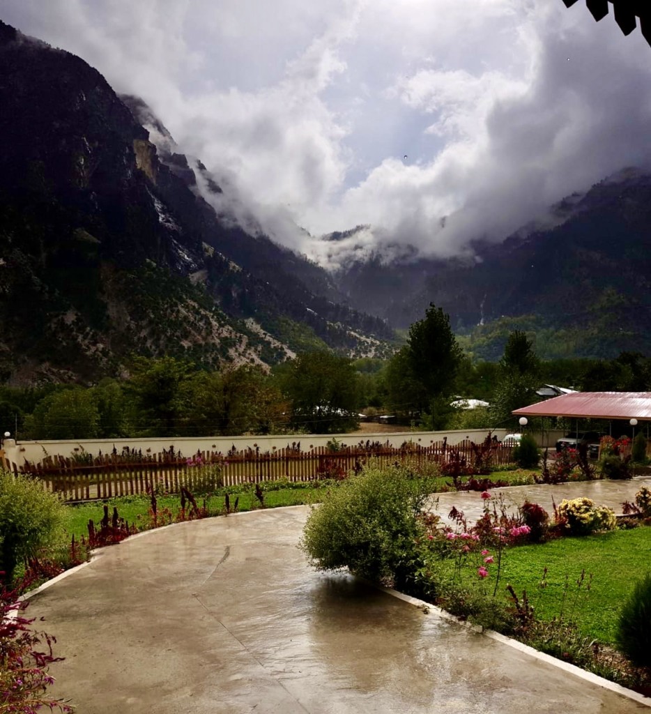
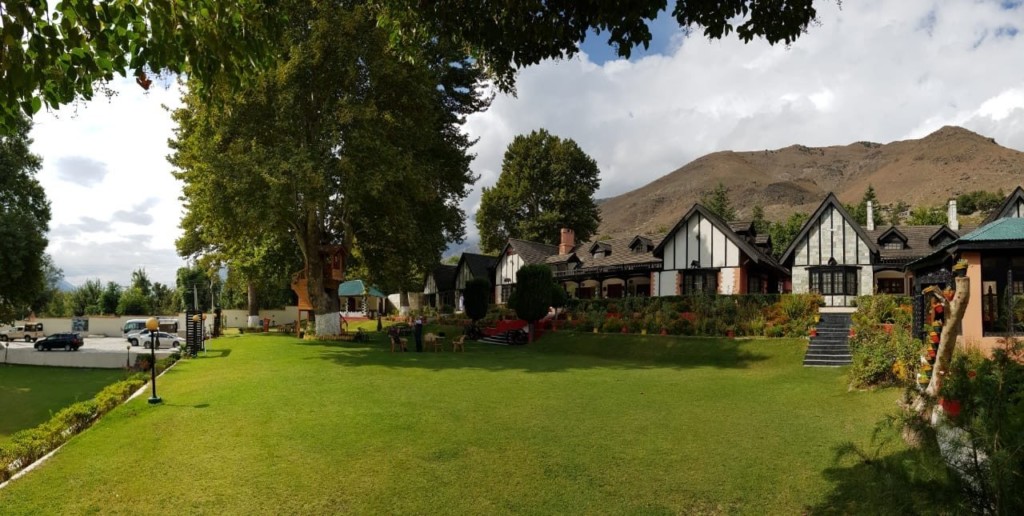
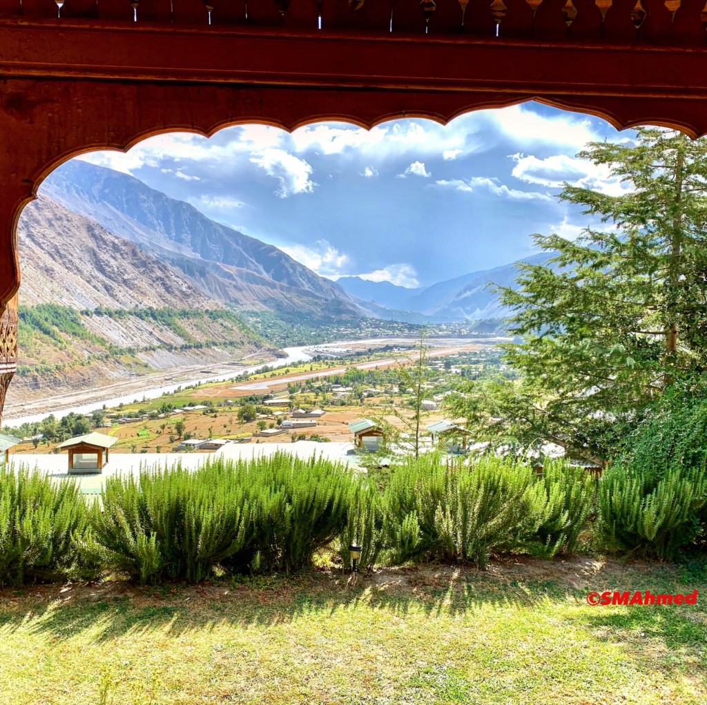
Accommodation to suit all budgets can be found. At the higher end, Hindukush Heights, offers fantastic views and luxurious stay. Many motels and guest houses offer more modest accommodation.
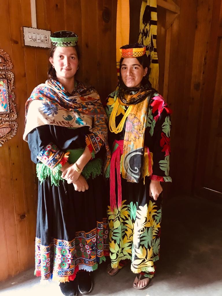
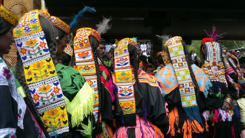
Chitral is also home to the Kalash tribe, who live in Bumburet and two other remote valleys southwest of Chitral town. A few thousand Nuristani people are also known to live in Chitral.
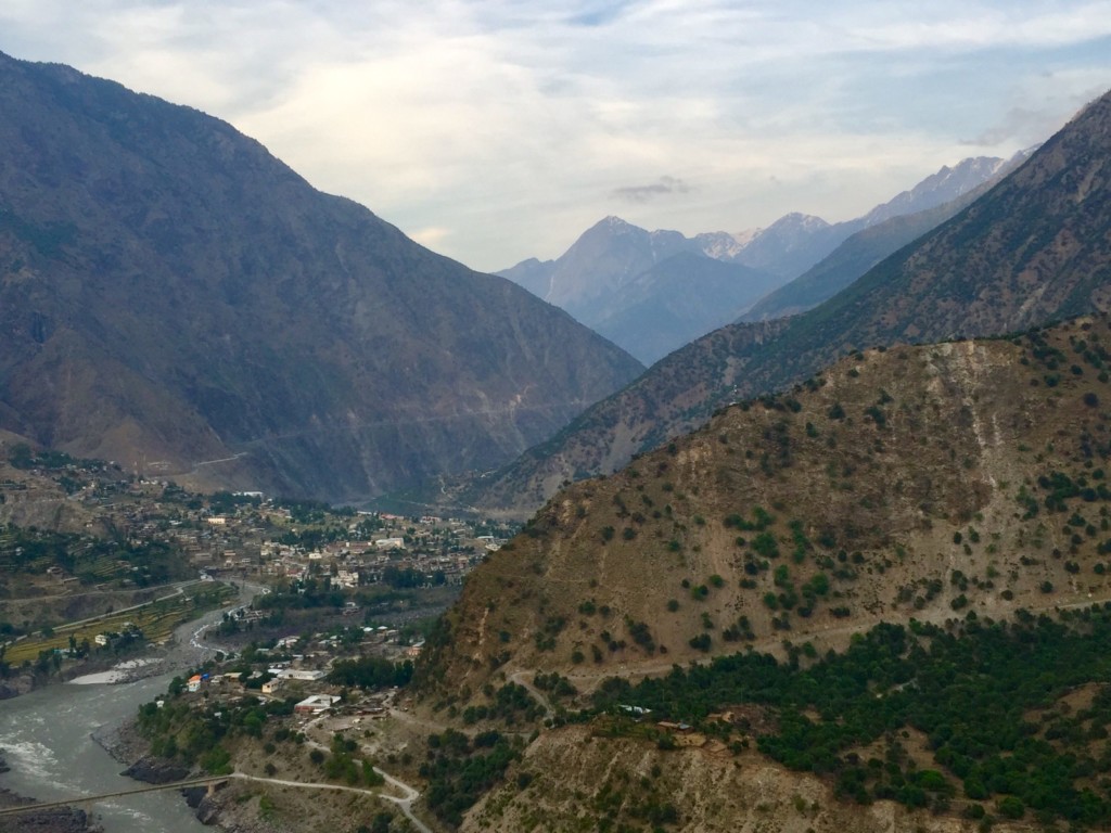
The town of Chitral is the main town in the district and serves as its capital. It is situated on the west bank of the Chitral River (also known as the Kunar River) at the foot of Tirich Mir which at 7,708 m (25,289 ft) is the highest peak of the Hindukush range.